-
Notifications
You must be signed in to change notification settings - Fork 180
south africa

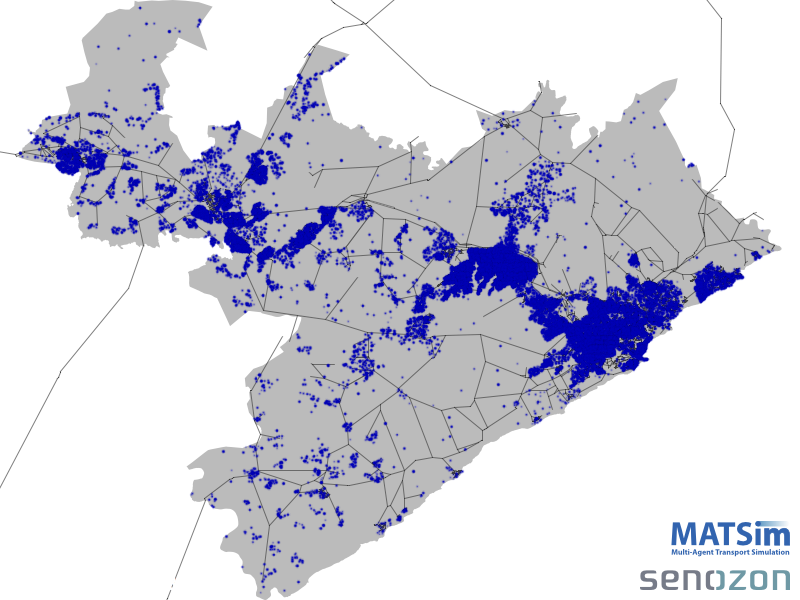
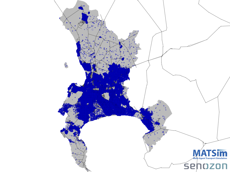
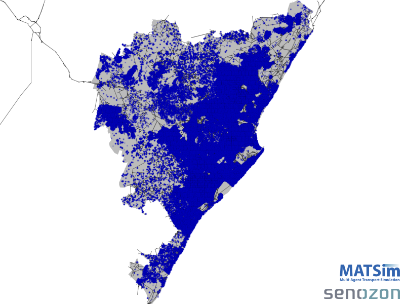
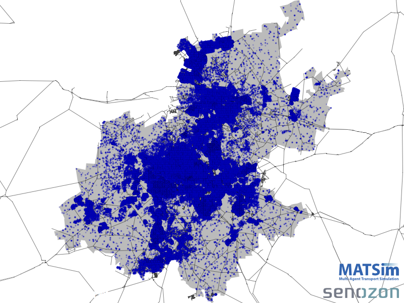
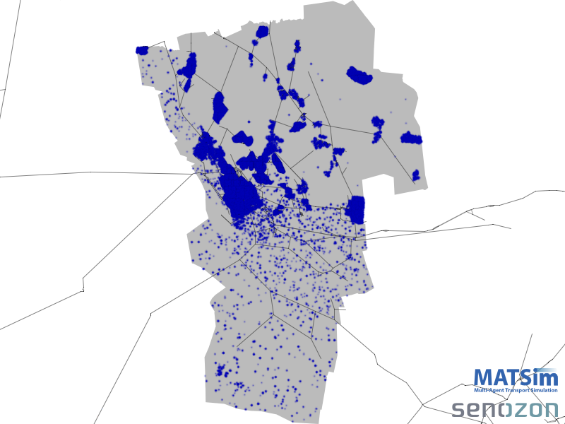
These pages cover the generation of MATSim populations for a number of South African metros.
Hovering your mouse over the images below will show the name of the area, while OpenStreetMap can help you put the locations in context.
For the details on how these populations were created, see Population generation.
You can download the MATSim networks for each area here, while the populations can be downloaded here.
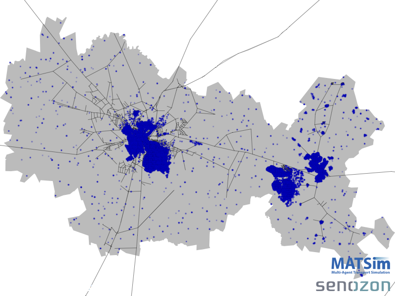
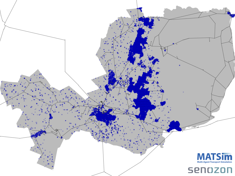
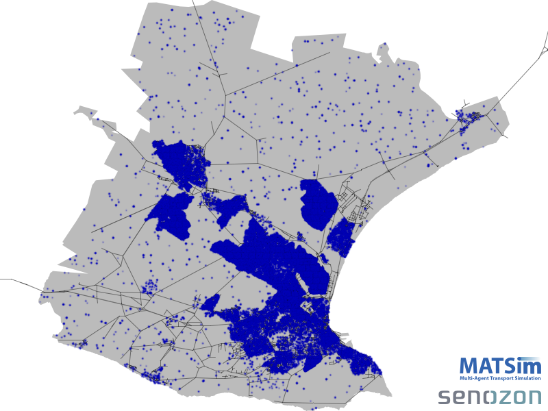
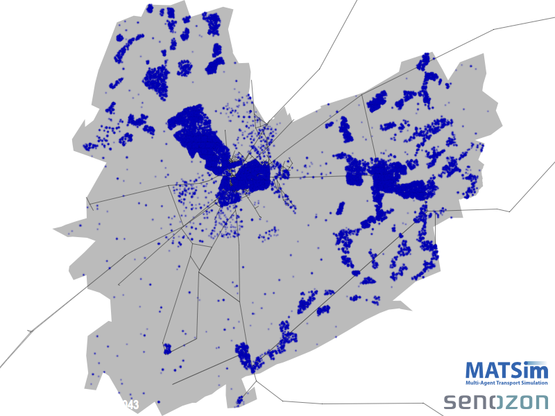
It is assumed that the reader has at least a basic knowledge of MATSim and have gone through the tutorial(s).
For a high-level background of why we choose MATSim, have a look at these videos on YouTube.
Our appreciation for the funding support from Urban Development and Infrastructure, Public Finance, South African National Treasury.
You are viewing an archive of the previous MATSim Q&A site. The real site is now at https://matsim.org/faq