An example of representing each US state with a polygon you can attach events to.
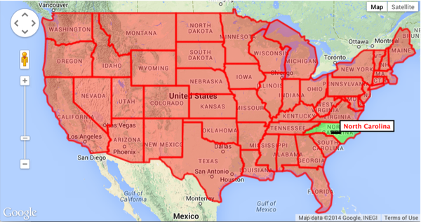
Each state is a polygon drawn by connecting a series of latitude / longitude coordinates. In my example, I colored and outlined each state for clarity and attached a mouse event that just pops up a tool tip with the polygon's label.