This isn't normal, but on maph it is
Make a heatmap of everywhere you've worked out from Strava or any other app that can export GPX files.
git clone --recursive https://github.com/JeffIrwin/maph
cd maph
Use CMake, or run the provided CMake wrapper script:
./build.sh
For instructions, see https://support.strava.com/hc/en-us/articles/216918437-Exporting-your-Data-and-Bulk-Export#Bulk
Be careful! This contains sensitive personal data.
Choose your colormap file and colormap name. Otherwise, the default colormap is a full-spectrum red-to-red HSV rainbow.
Set a globbed path to your GPX files. If you don't have data, some stripped-down samples are included in data/export_0/.
By default, maph will snap to the bounds of your data. If you have worked out in multiple cities, this won't be very helpful. To zoom in, set lattitudes (y) and longitudes (x) with Min x, ..., Max y. Google maps can be helpful for finding the coordinates that you want.
Here is an example:
{
	"Image size x"      : 3840,
	"Image size y"      : 2160,

	"Colormap file"     : "submodules/colormapper/submodules/colormaps/ColorMaps5.0.0.xml",
	"Colormap name"     : "Black-Body Radiation",

	"GPX files"         : "data/export_0/activities/*.gpx",
	"Min x"             : -80.95,
	"Max x"             : -80.857,
	"Min y"             : -14.414,
	"Max y"             : -14.30,

	"Verbosity"         : 0,
	"File name prefix"  : "example-2a"
}
Linux or macOS:
./build/maph data/example-1a.json
Windows:
.\build\maph.exe data\example-1a.json
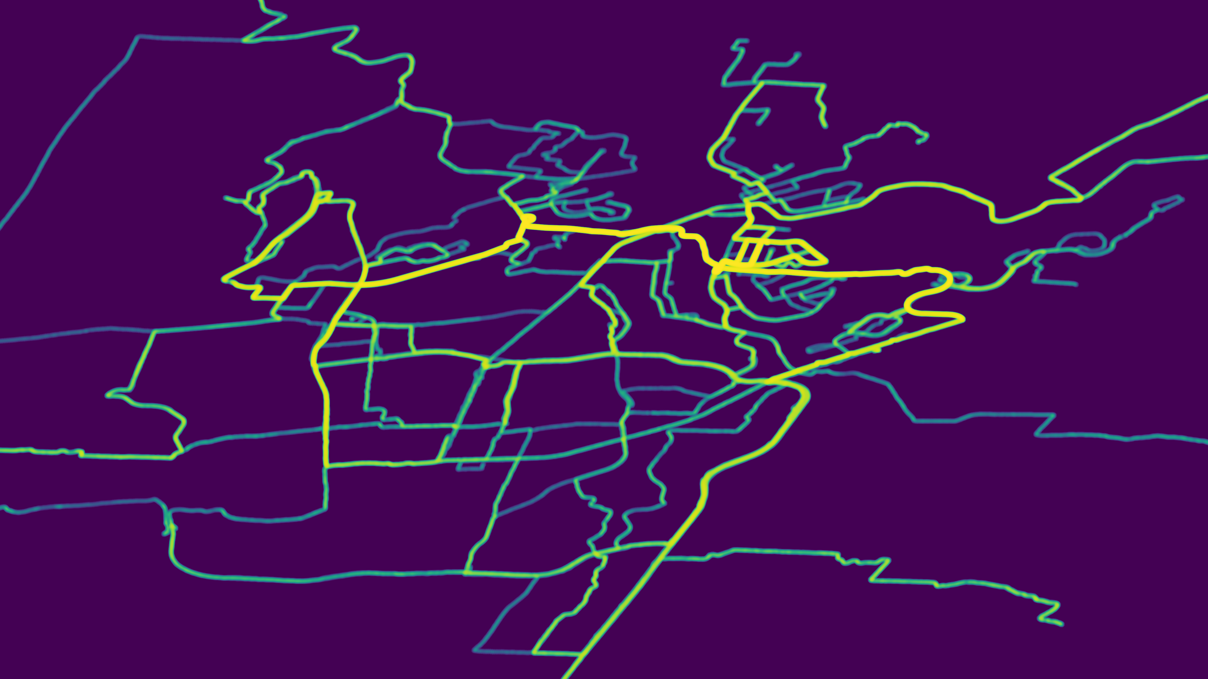
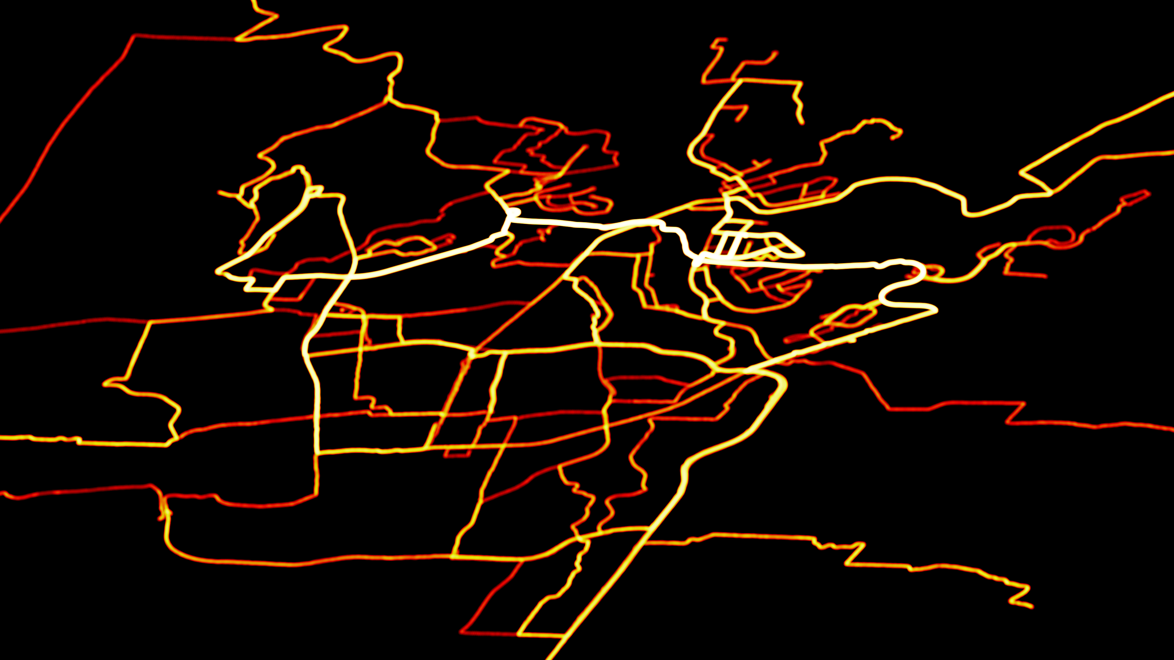
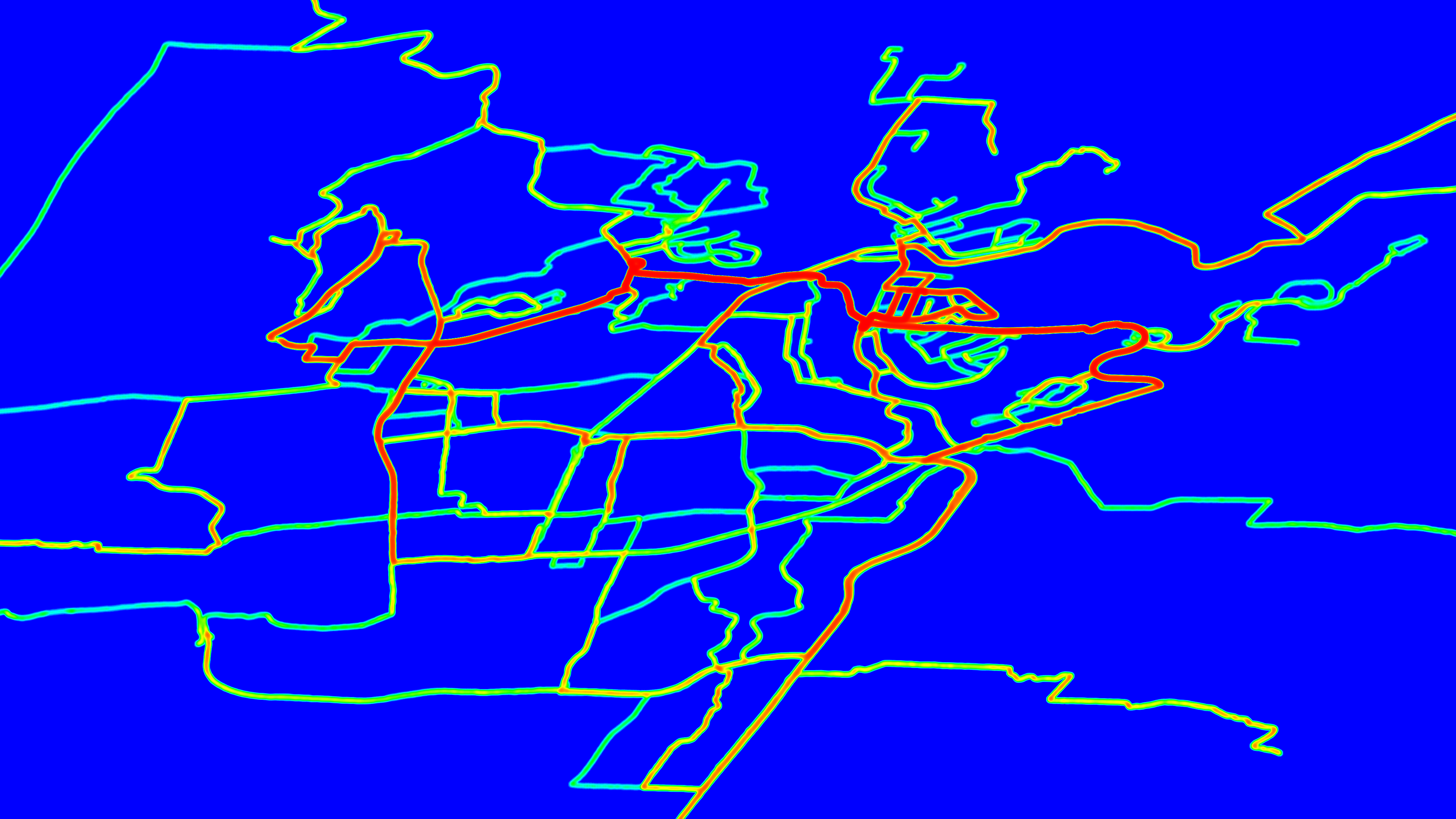
Maph will write the results to a PNG file. A couple examples are below (we did the maph):
For CI testing, see https://github.com/JeffIrwin/maph/actions
This tool has been tested on:
- AppleClang 11.0.0.11000033
- MSVC 19.0.24215.1 (Visual Studio 14 2015)
- MSVC 19.15.26726.0 (Visual Studio 15 2017)
- MSVC 19.24.28314.0 (Visual Studio 16 2019)
- Ubuntu 18.04.3 LTS (Bionic Beaver) with gcc (Ubuntu 7.4.0-1ubuntu1~18.04.1) 7.4.0
Other platforms and compilers may work.


