Skip to content
/ iris Public

A powerful, format-agnostic, and community-driven Python package for analysing and visualising Earth science data

License

Notifications You must be signed in to change notification settings

SciTools/iris

Folders and files

NameName
Last commit message
Last commit date

Latest commit

16c6a33 Β· May 13, 2025
May 12, 2025
Apr 28, 2025
May 13, 2025
Mar 10, 2025
May 9, 2025
May 9, 2025
May 13, 2025
Apr 21, 2023
Apr 18, 2023
Jul 6, 2022
Jul 6, 2022
Nov 4, 2024
May 12, 2025
Jan 31, 2017
May 13, 2025
Jan 17, 2024
Jan 18, 2024
Dec 11, 2023
Dec 22, 2023
May 2, 2023
Nov 13, 2023
Apr 25, 2025
Mar 27, 2023
May 13, 2025
Apr 18, 2023
Mar 28, 2025
Apr 30, 2025
Apr 28, 2025

Iris is a powerful, format-agnostic, community-driven Python package for analysing and visualising Earth science data

βš™οΈ CI ci-manifest ci-tests ci-wheels pre-commit
πŸ’¬ Community Contributor Covenant GH Discussions bluesky
πŸ“– Documentation rtd Check Links
πŸ“ˆ Health codecov
✨ Meta Ruff NEP29 license - bds-3-clause conda platform
πŸ“¦ Package DOI conda-forge pypi pypi - python version
🧰 Repo commits-since contributors release

For documentation see the latest developer version or the most recent released stable version.

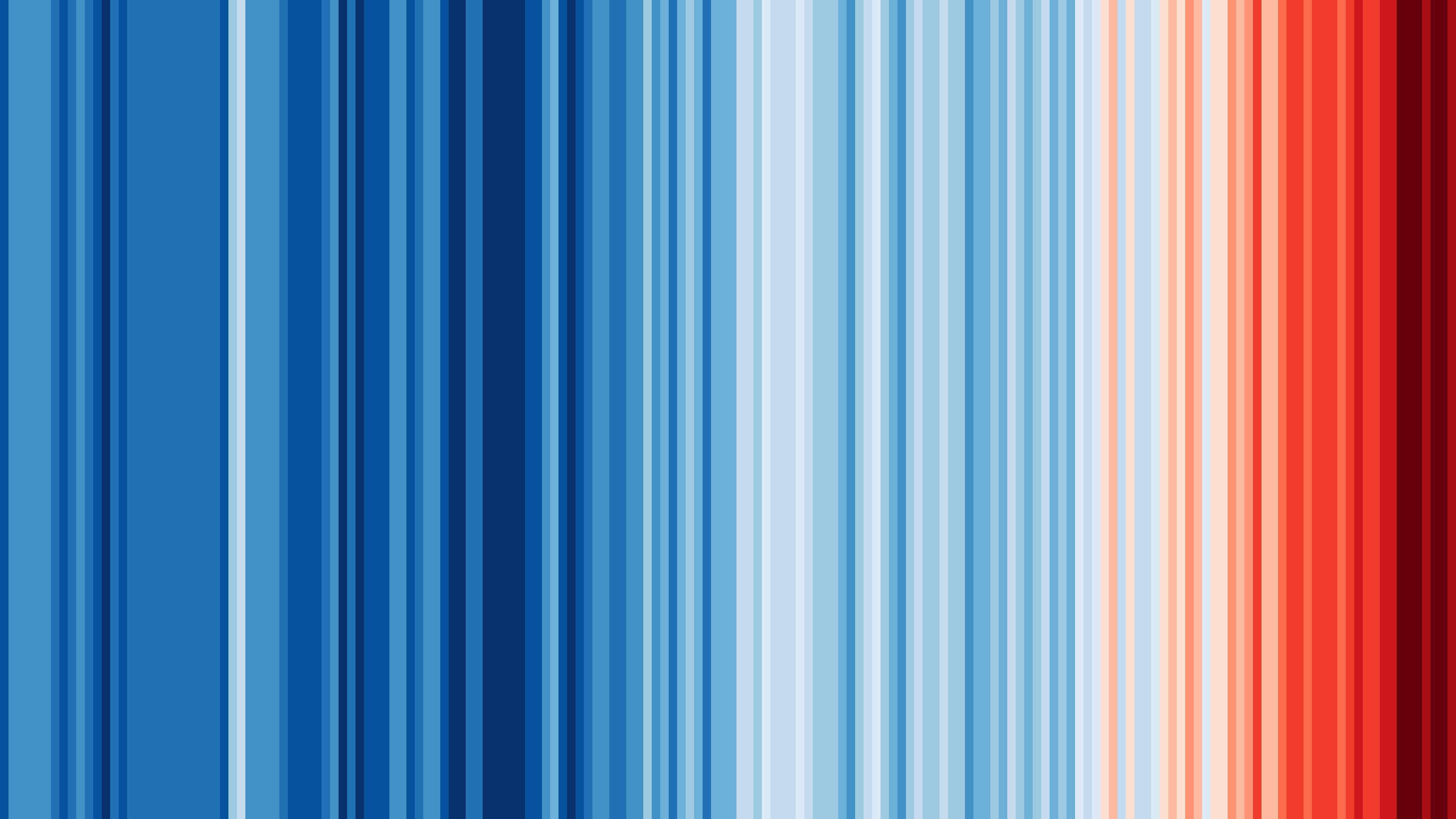
Graphics and Lead Scientist: Ed Hawkins, National Centre for Atmospheric Science, University of Reading.

Data: Berkeley Earth, NOAA, UK Met Office, MeteoSwiss, DWD, SMHI, UoR, Meteo France & ZAMG.

#ShowYourStripes is distributed under a Creative Commons Attribution 4.0 International License creative-commons-by