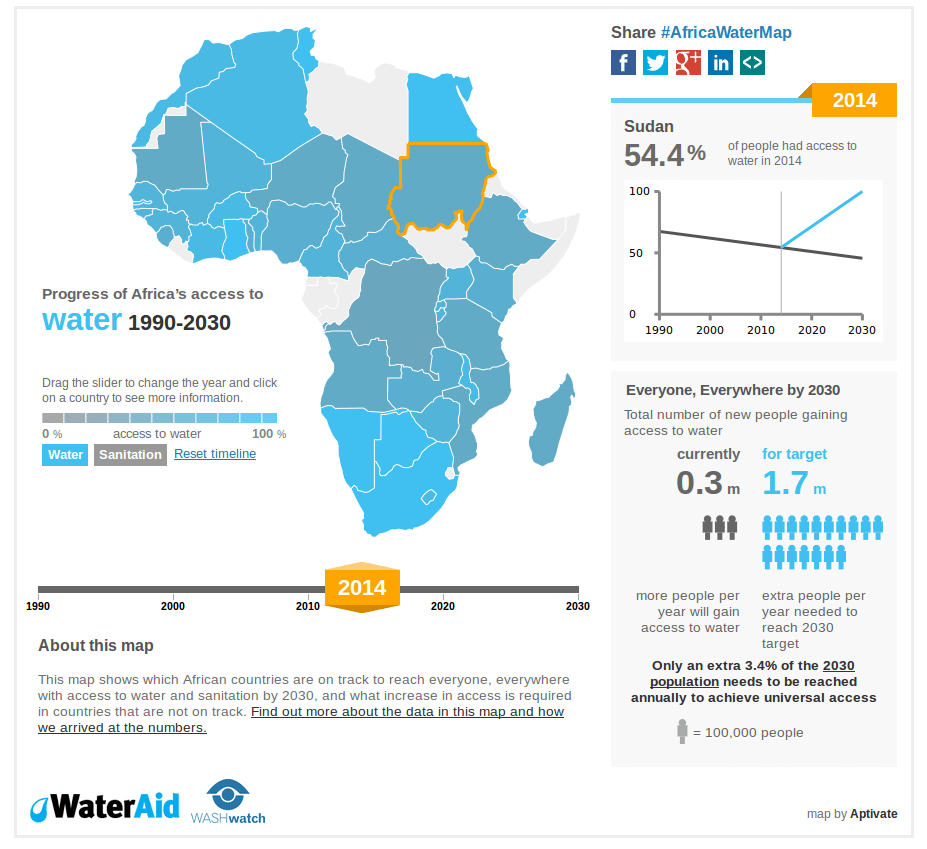
###Africa Watermap
This interactive map commissioned by Wateraid for Africa Water week has been released for use by other organisations or individuals who may use it as a starting point for their own maps. The map itself is fully responsive and uses d3js for svg image generation in javascript. We would appreciate if you could remove all branding from your project before publishing it.
Run the following commands in a terminal
cd path/to/d3js/
python -m SimpleHTTPServer 8008
And then you view the page at http://localhost:8008/
The main code we're using is in the d3js/ directory.
The map data we're using, along with a script to generate the json files we need is in the mapdata/ directory.
An early implementation using the jvectormap library is in the jvectormap/ directory.
Only required for generating map data, not for running the web server
That requires the ogr2ogr and topojson commands. The ogr2ogr command can be installed by running:
sudo apt-get install gdal-bin
The topojson command can be installed by running
sudo npm install topojson -g
npm is part of node - on Ubuntu 14.04 you just install the nodejs package, or see this guide for older versions of Ubuntu
