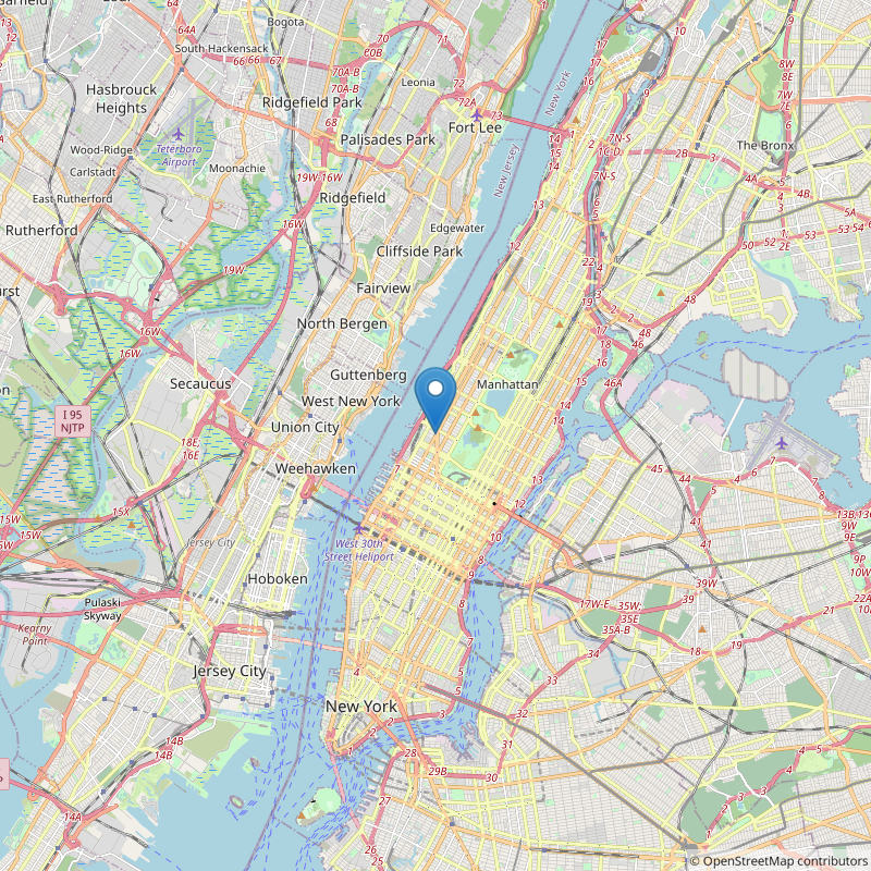
A python script for generating Static openstreetmap Images.
Argument 1: Latitude in FloatingPoint Notation
Argument 2: Longitude in FloatingPoint Notation
Argument 3: ZoomLevel (0-19) 0 = Whole World 19 = Super Close
"--marker_path" allows you to set your own marker either Locally via a Filepath on your Computer or with an http / https Address
"--size" sets the return image size to a Square of size x size
"--width" and "--height" set the size of the return image, ATTENTION ONLY "--width" and "--height" OR "--size" can be used
"--filename" sets the output path / filename
"--high_contrast" returns a high contrast version of your map
"--grayscale" returns a grayscale version of your map (can be used together with "--high_contrast"
"--nomarker" hides the map marker
python Static_Map.py 40.777272310196174 -73.9824607079843 12 --size 800 --filename NYC.png
generates:
